Community invited to help shape active transport priorities
Published on 09 November 2026
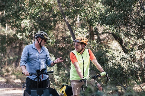
Mount Alexander Shire Council is inviting residents to help shape the future of walking, wheeling and riding by providing feedback on updated Active Transport Aspirational Maps.
The consultation is the next step in delivering Council's Active Transport Strategy, adopted in 2023, which outlines a vision for a safe, connected, accessible and sustainable active transport network across the shire.
Council is seeking community feedback to help identify which active transport projects should be prioritised for future planning and funding applications.
Mayor Toby Heydon said the consultation would help ensure future investment reflects community needs.
"We've heard clearly that people want safer, more connected neighbourhoods and better access to everyday destinations," Cr Heydon said.
"Community feedback helped shape the Active Transport Strategy and has informed the work we've done since, including updating the Aspirational Maps and investigating accessibility improvements.
"Now we're asking the community to help identify which routes and connections should be prioritised for the future."
Between November 2022 and March 2023, Council engaged with 215 community members, who identified safety concerns, missing links and infrastructure gaps as key barriers to active transport.
Since then, Council has:
- Established an Active Transport External Working Group.
- Updated the Aspirational Maps.
- Added a new Wesley Hill map.
- Refreshed key destinations and places of interest.
- Completed further accessibility investigations, including the Castlemaine CBD Inclusive Streets Audit and a Road Safety Action Plan for Castlemaine.
The Aspirational Maps identify potential future walking, wheeling and riding connections across the shire. They are intended to support long-term planning, advocacy and grant funding opportunities, but do not represent funded projects or detailed designs.
Council is not seeking to re-identify existing issues. Instead, residents are being asked whether the maps reflect local needs, what connections are missing and which routes should be prioritised.
The updated maps and a short survey are available on Shape Mount Alexander. Residents can also attend one of the many drop-in sessions across the shire during November:
- Newstead, corner Panmure St and Pyrenees Hwy, Thursday 12 November, 10.00am to 11.30am
- Guildford, next to the general store, 1 Templeton St, Thursday 12 November, 10.30am to 12.00pm
- Wesley Hill Market, Saturday, 14 November, 10.00am to 11.30am
- Maldon, corner Main Street and High Street, Tuesday, 17 November, 10:30am to 12.00pm
- Castlemaine Train Station, Monday, 23 November, during the morning commute
- Outside Castlemaine Secondary College, Monday, 23 November, 3.00pm to 4.00pm
- Outside Harcourt Primary School, Tuesday, 24 November, 3.00pm to 4.00pm
- Outside Elphinstone Primary School, Wednesday, 25 November, 3.00pm to 4.00pm
- Front of the Castlemaine Market Building, Thursday, 26 November, 10.30am to 12.00pm
- Campbells Creek Park, Thursday, 26 November, 3.00pm to 4.30pm
- Taradale at the park next to the Metro servo, Friday 27 November, 3.30pm to 4.30pm
Community feedback will help inform a future Council decision to endorse the maps, which will guide active transport priorities across the shire.
For more information and to have your say, visit www.shape.mountalexander.vic.gov.au/active-transport.